Our Services
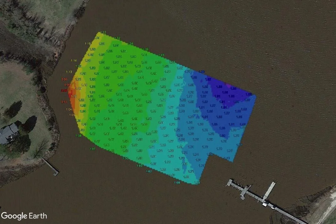
Bathymetric Maps
We create maps of creeks, ponds, lakes, and other bodies of water cheaper and faster than traditional methods. These maps can be viewed digitally or printed physically.

Change Monitoring
Using high resolution 360 degree cameras above and below the water, we provide the footage you need to track the change of environmental projects, aquaculture crops, and other areas of interest.

Marine Infrastructure Inspection
Our hydro drones provide footage of bridges, piers, docks, and other infrastructure safer, faster, and from perspectives unattainable by other methods.
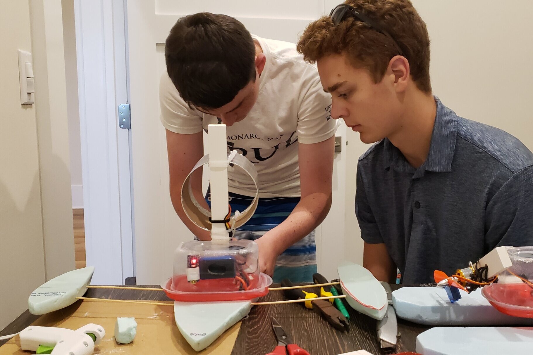
Education
We teach classes on hydro drone operation, environmental monitoring, engineering methods and practices, geodesy, and surveying .